View 34 Photos
Tongariro Northern Circuit in Winter
In August 2023 I hiked the Tongariro Northern Circuit, in Tongariro National Park, New Zealand. In total it was 44km over 2.5 days. As this was during winter, extra gear had to be taken with me like crampons and an ice axe.
Hike
Download GPX
Hike
Download GPX
Day 1
On the first day I drove early out of Auckland towards Whakapapa village. This is about a 4 hour drive and made me arrive after lunch time. I dropped by the Visitor Centre, bought two hut tickets and got a free car park ticket.
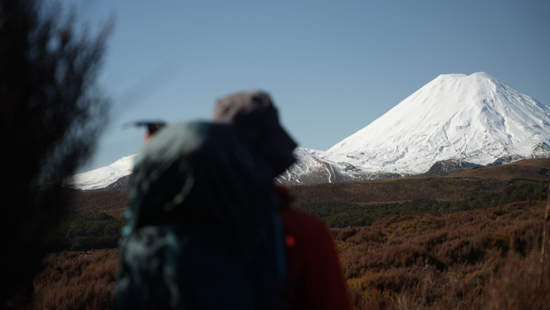
The section I had planned for this half day was a short and simple one, Whakapapa Village to Mangatepopo Hut. It is just under 10km and took me about three hours to complete. The section is mostly flat with amazing views of Mount Ngauruhoe and Mount Ruapehu.
When I arrived there was one older lady at the hut, she had come down from summiting Mount Ngauruhoe that day. She told me it was definitely worth it but you need to be careful. People have slipped and slid all the way down the mount, which they didn’t survive. As this was my first winter hike, where I would make use of crampons and an ice axe, I decided to just stay on the Northern Circuit track.
We lit the fire in the hut, to make it nice and warm. I had my dinner and went to bed early as the next day would be a long one.


+3
Hike
Download GPX
Day 2
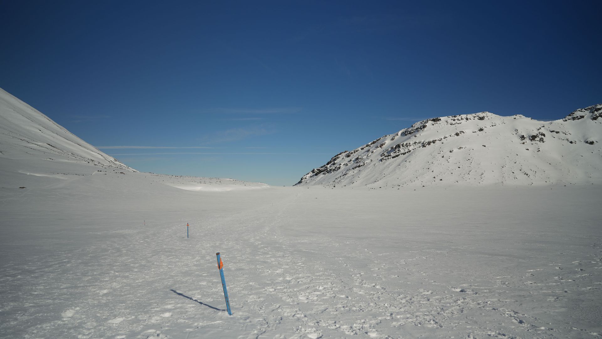
My idea was to reach Red Crater just before sunrise, unfortunately I had underestimated the time it would take me to walk from Mangatepopo Hut to Red Crater. If I could go again, I would leave at least 2.5 hours before sunrise!
While I missed the sunrise from Red Crater, I did see the sky light up while I was walking towards it. Eventually I made it to the top of Red Crater and I had some amazing 360º views. In hindsight I should have done the Mount Tongariro Summit side track, for which I’ll have to come back one day.
Red Crater is the highest point of the whole track. So after I got here it was only going to be downhill (ok not completely as some sections are still undulating).
As I had started early, I was already at Oturere Hut around lunch time, which gave for a perfect spot to have some lunch.
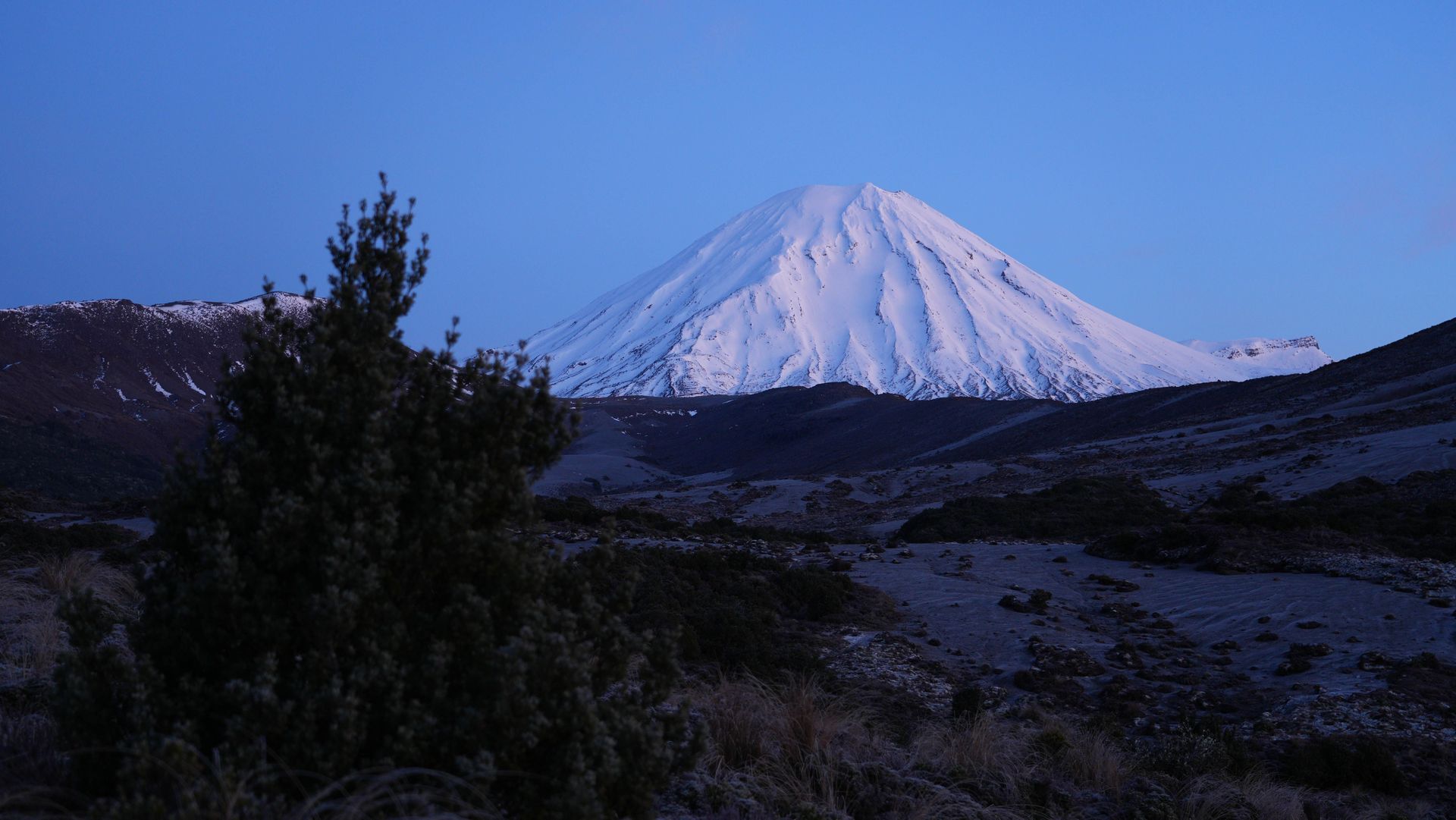
With a full stomach and water bottle, I made my way towards Waihohonu Hut where I spent the night. Being there, with just one other person, it felt like we had our own private hotel!


+12
Hike
Download GPX
Day 3
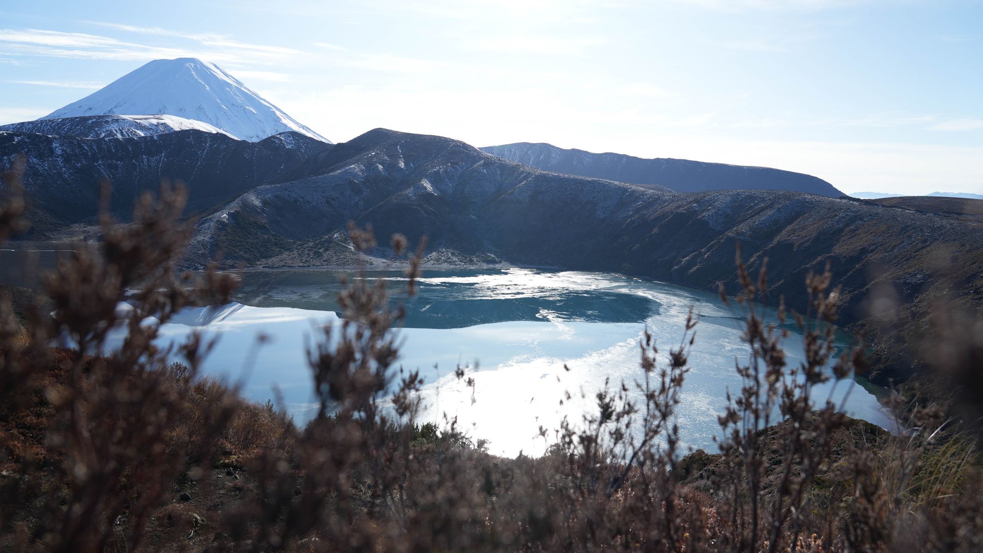
Compared to the long day before, this final day was going to be a walk in the park. This section of Waihohonu Hut back to Whakapapa Village is definitely the flattest and makes you cruise along the track. I decided to make a small detour to Lower Lake Tama and enjoy the clear blue water with snow capped volcanoes in the background.
Before I knew it, I was back at my car and had the whole afternoon to drive back to Auckland. A perfect three day trip that gave me some insane winter views.


+3