35 Photos
Hiking the Gillespie Pass in winter, New Zealand
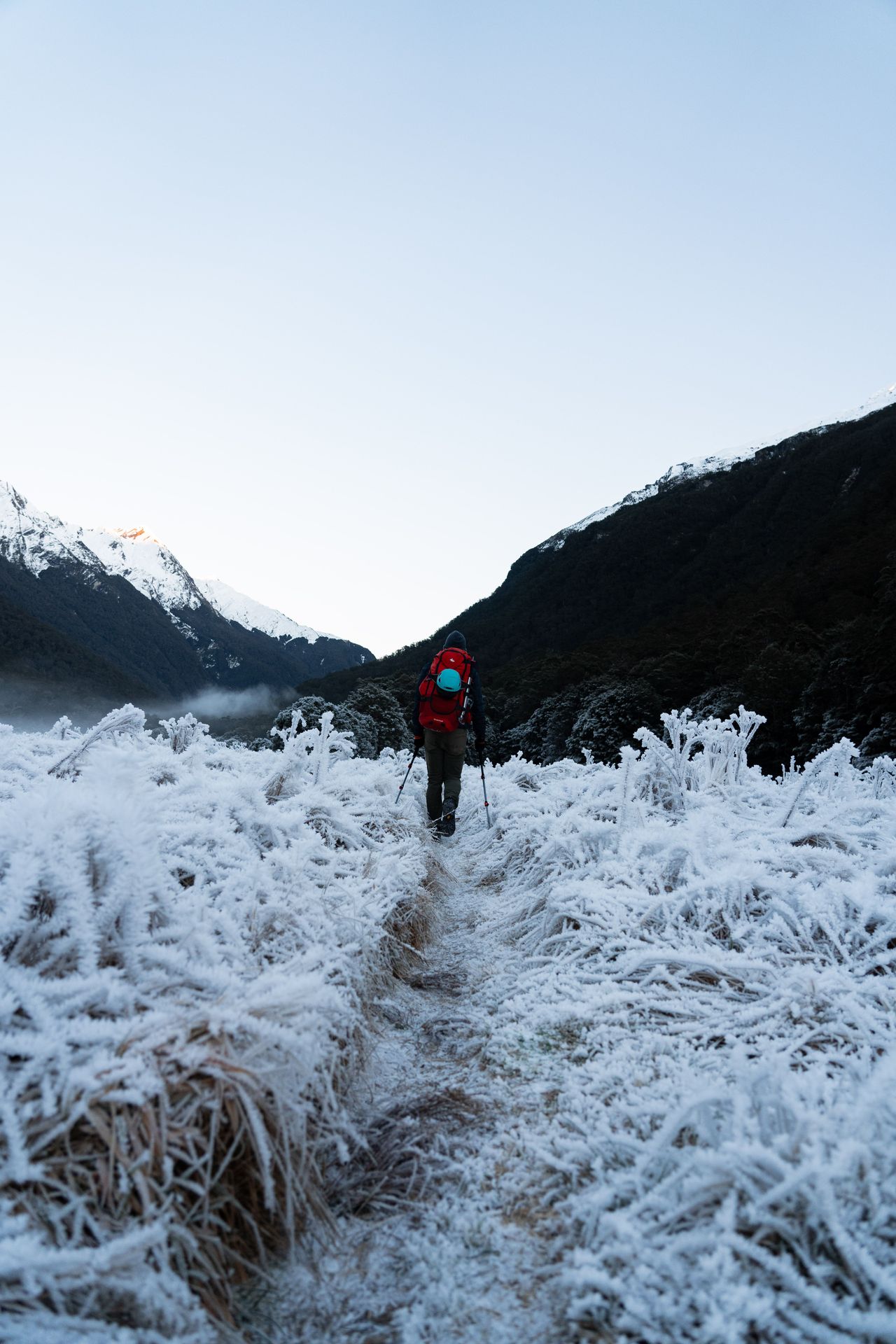
In July 2024 we hiked the Gillespie Pass in winter, located in New Zealand. It's a 70 km hike through two major valleys separated by a pass that you cross, hence the name of the trail. We did this in winter conditions which makes it that much better if you ask me!
Hike
Links
Start / Finish
- This track is not 100% a loop, unless you make it one by continuing to walk along the river.
- Our start was Here, which has a small carpark.
- As for the end, we Crossed The River as soon as we left the Wilkin Valley to make it to State Highway 6 and hitchhike back to where our car was. Alternatively you can choose to keep walking along the river until you’re back at the carpark.
- We hikes it in a counterclockwise direction as that’s most desirable in terms of the elevation you will encounter.
Season
- We did this trip in July 2024. As this is winter, you should (as we did) expect freezing temperatures (especially in the valley when there’s an inversion) and snow/ice up on the Gillespie Pass, if not everywhere on the track during a snowstorm.
- In summer there ‘should’ be no snow.
Campsites / Huts
- During winter the huts are first come, first serve and unserviced. In summer it’s the other way around
- We spent one night in Young Hut and one night in Siberia Hut.
- Mind you it’s not allowed to camp in the Crucible Lake area due to the sensitive environment.
Maps / Info
- Please see the DOC website for detailed information on the Gillespie Pass. Mind you the kms as per the DOC website are less than what it is if you walk all the way back to Makarora.
- You can visit the Wanaka Visitor Centre for the current track conditions if it's winter.
Food / Water
- There are a lot of streams you cross to fill up on water, if not the Young / Wilkin river or the huts.
- The only time you should carry full bottles is for the Gillespass section, as you won't have access to water for hours up there.
Route / Conditions
- The track is well maintained but it is not a great walk, you of course can’t expect it to be of that level. There are slip sections you need to cross as well as the Makarora river, which can be impassable during heavy rainfall.
- You can opt to spent out an extra day in Siberia Hut and pay a visit to the Crucible Lake
Hike
Day 1
Thursday morning we drove to the Start where we parked our car. We grabbed our gear and headed towards the river. After about half an hour we reached the point to cross and through the freezing water we made it to the other side. As it was still pitch black when we did this, we had not chosen the best spot to make the actual river crossing and it was a bit deeper than expected. Once on the other side we saw white water just 50m left from us, An Easier Section To Cross The River!
On the other side, we warmed up and had a cruisy walk up to Young Hut. There’s a few minor climbs to get higher up on the banks but other than that an easy walk. We arrived in the early afternoon and had enough time to make ourselves at home and rest. Unfortunately no fire as all the wood was way too damp. It didn't make the powernap anything less.


+7
Hike
Day 2
An early morning start as we would be climbing over the Gillespie Pass today. With head torches on we started to walk up the last bit of the Young Valley, until it was time to start the climb to the pass.
Around 30mins before the top of the pass the rocks became too icy and in combination with the snow we decided to put on our crampons. This made life much easier and before we knew it we were enjoying the scenery of walking up and over the pass.
It’s one of the nicest passes I’ve ever walked over. Often with passes you reach the top and descend down straight away. That was not the case here, we had about 1.5 kms of where we were walking along the top!
But of course, we had to go down and that meant heading towards the Siberia Valley. When you reach this valley, you have a straight forward, flat, walk to Siberia Hut which took us about 2 hours when we reached the Bushline, coming down from the pass.
Siberia Hut was quite a bit better than Young Hut, it had an amazing view of the valley and was located in the afternoon sun. Meaning there was loads of dry wood to start a fire.
We made ourselves cosy and enjoyed being all alone here. The whole hike we actually have not come across anyone and the hut entries were over a month old. Such a contrast to summer when these huts get fully booked!


+10
Hike
Day 3
The final day of the trip saw us walking out from the Wilkin Valley all the way back to Makarora. Quite a big day in terms of distance covered, 28km, but only took us about 8 hrs in the chilly winter conditions.
For those that don’t want to walk on such a big day, you can hire a jet boat (unsure if they do so in winter) to get picked up from Kerin Forks. But where's the challenge in that!
Anyway, we finished in the afternoon, reaching state highway 6 and hitchhiked back to our car.
One amazing winter hike done :)


+1